Uzbekistan to introduce digital technologies into cadaster sector
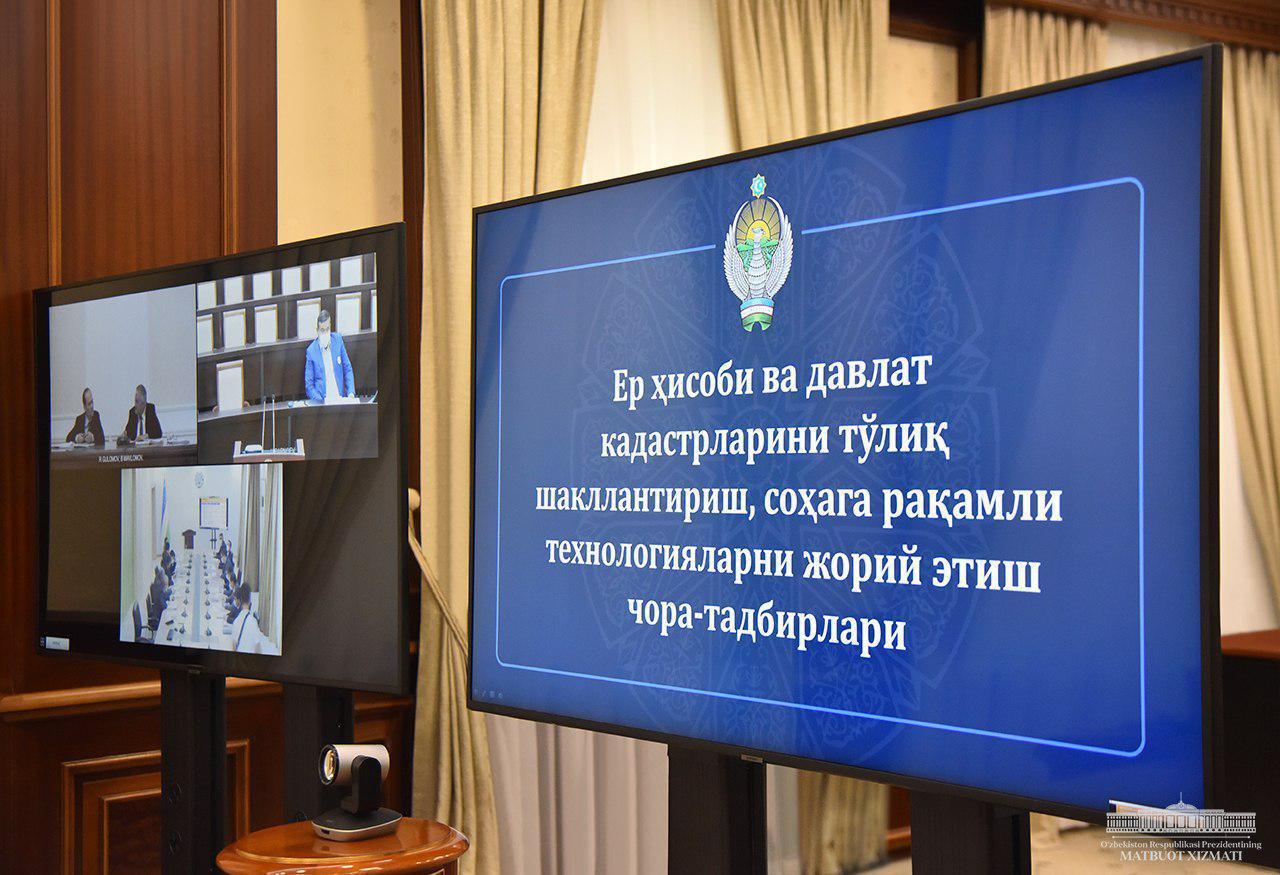
On July 21, President Shavkat Mirziyoyev held a meeting on the complete formation of the land registry and state cadaster system and the introduction of digital technologies in the sphere.
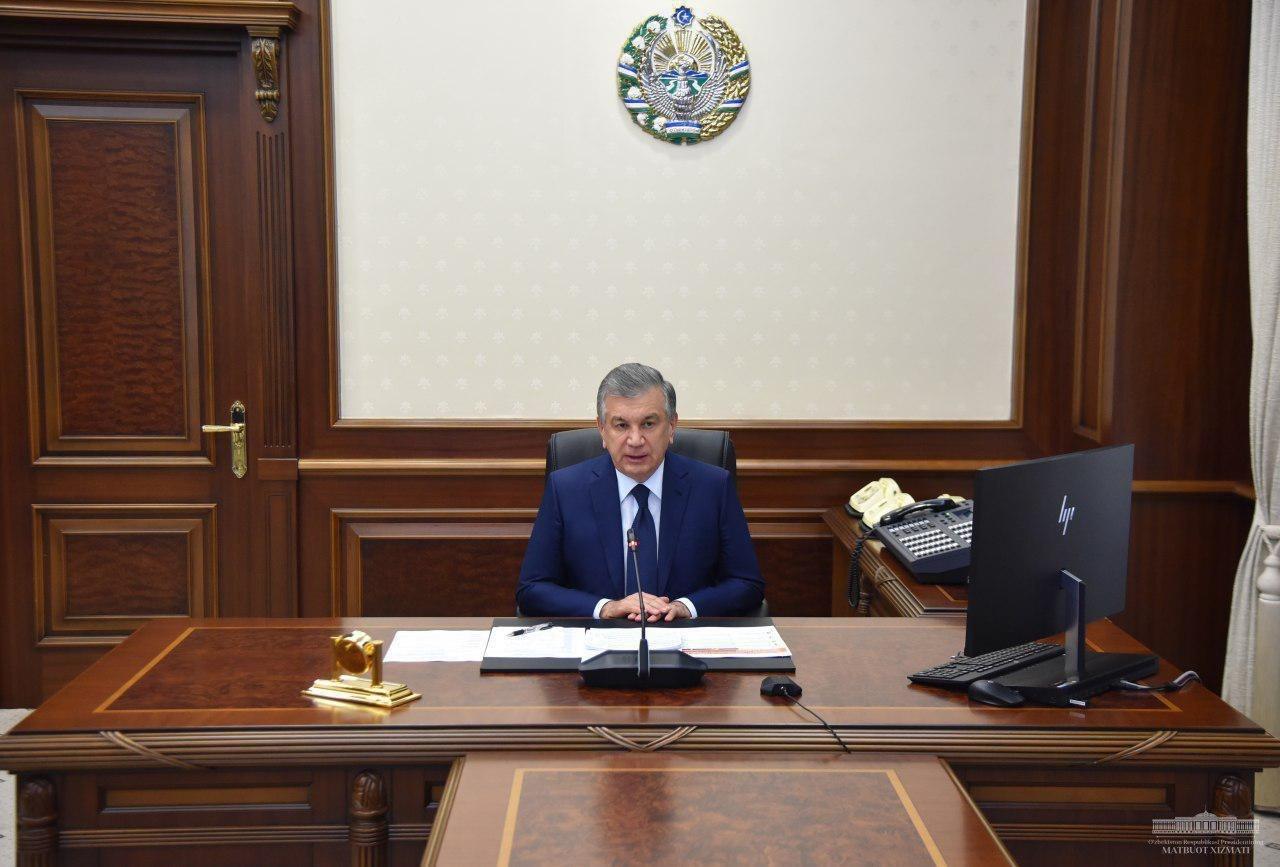
Photo: Presidential press service
Accurate accounting and efficient use of land is very important for many sectors such as agriculture, business, production, construction, geology. During his visits to the regions, he has always paid particular attention to this issue, noting that every inch of land should be of benefit to the people.
Unfortunately, there are still a number of problems in the areas of geodesy, cartography and cadaster. The last land survey in our country was conducted 40 years ago. For example, the administrative boundaries of 140 districts are still unclear. The procedure for allocating agricultural land was adopted 20 years ago and does not meet the requirements of the current reforms, and as a result, looting and corruption in the industry has increased. The arbitrary occupation of 150,000 hectares of arable land in 66 districts and the criminal prosecution of 122 cadaster officers in the past two years are the evidence of this.
Thus, systemic reform has begun. As the President’s press service reported, important issues in this regard were discussed at today’s meeting.
President Shavkat Mirziyoyev noted that the primary task of cadaster offices should be to keep records and balance of the land. By the end of the year, it is projected to launch an information system that would collect information on the type, contour, boundary and user of the land. The decision to allocate land is now valid only if it is included in the system.
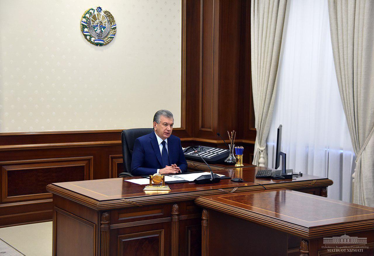
It was also mandated to rent satellite links and configure the signal processing system. This is useful during productivity analysis by comparing space images over the years, when regularly studying land reclamation.
The meeting noted the need to digitalize agricultural management, maintain land balance and start recording it in the National Geographic Information System from next year. By the end of the year, it is planned to introduce a procedure for allocating agricultural land through electronic selection and auction, optimization of land categories with the help of international experts.
Shavkat Mirziyoyev proposed to transfer the functions of the State Committee of the Republic of Uzbekistan on Land Resources, Geodesy, Cartography and State Cadaster in assessing soil quality, land development, placement of crops to the Ministry of Agriculture, as well as the Research Institute of Soil Science and Agrochemistry. The importance of developing the activities of the Institute and modernizing its laboratories for $87 million assigned by the World Bank was emphasized. The Ministry of Agriculture was instructed to produce soil analysis and agro-technological maps of 10 thousand hectares by the end of the year.
Another drawback of this sphere is that some cadaster types are not fully developed. For example, Ministry achieved only 23% completion of road cadaster, 32% of cultural heritage objects cadaster, 32% of pipe cadaster, and 63% of cadaster of urban land. Therefore, the Prime Minister’s Advisor on IT Technology Development has been instructed to set up a working group to fully develop the cadastral database.
The meeting also addressed the issue of determining the real value of urban and rural land and the formation of its market.
President Shavkat Mirziyoyev noted the low human resources potential of the sphere, 27 percent of employees of the State Committee on Land Resources, Geodesy, Cartography and State Cadaster have professional specialization differing from that required in their workplace. Therefore, the President noted the importance of establishing a branch of a foreign educational institution, developing cooperation with the University of Pisa, Italy, and Moscow State University of Geodesy and Cartography, Russia.
Recommended
List of streets and intersections being repaired in Tashkent published
SOCIETY | 19:12 / 16.05.2024
Uzbekistan's flag flies high on Oceania's tallest volcano
SOCIETY | 17:54 / 15.05.2024
New tariffs to be introduced in Tashkent public transport
SOCIETY | 14:55 / 05.05.2023
Onix and Tracker cars withdrawn from sale
BUSINESS | 10:20 / 05.05.2023
Latest news
-
Four jailed in cross-border smuggling case via secret tunnel linking Uzbekistan and Kyrgyzstan
SOCIETY | 13:23
-
EU supports civil society development in Uzbekistan with five new projects
POLITICS | 12:57
-
Uzbekistan’s passenger car market slows in March
SOCIETY | 12:56
-
Uzbekistan sees considerable surge in international student enrollment
SOCIETY | 11:59
Related News
14:01 / 23.04.2025
Shavkat Mirziyoyev arrives in Samarkand for talks with Sergey Lavrov and Gurbanguly Berdimuhamedov
13:04 / 15.04.2025
Shavkat Mirziyoyev visits Andijan, inspects upgraded airport as regional development accelerates
15:35 / 10.04.2025
Shavkat Mirziyoyev meets Tony Blair to discuss economic and technological reforms
14:51 / 04.04.2025
